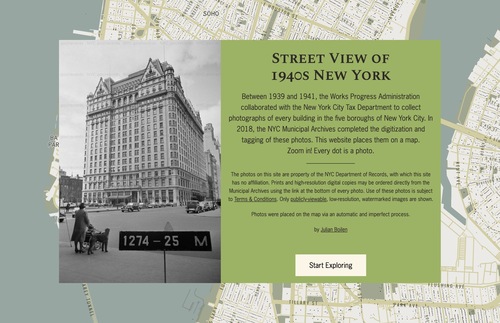
 Explore New York City's streetscapes, circa 1940, with an interactive street-view map using government photos of buildings. | Frommer's
via Frommer's https://www.frommers.com/blogs/passportable/blog_posts/this-interactive-street-view-map-shows-what-nyc-looked-like-circa-1940
No comments:
Post a Comment